Justin Applefield
North Island Part 7: Tongariro
February 4, 2023
There is a famous meme of Sean Bean from a scene in the Lord of the Rings where he says "One does not simply walk into Mordor." Ngauruhoe, located in Tongariro National Park, was used as a stand-in for Mount Doom when filming the Lord of the Rings, and today I would be hiking the Tongariro Alpine Crossing, which goes over its neighboring volcano Tongariro, right past Ngauruhoe, so you could say that I would simply be walking into Mordor.
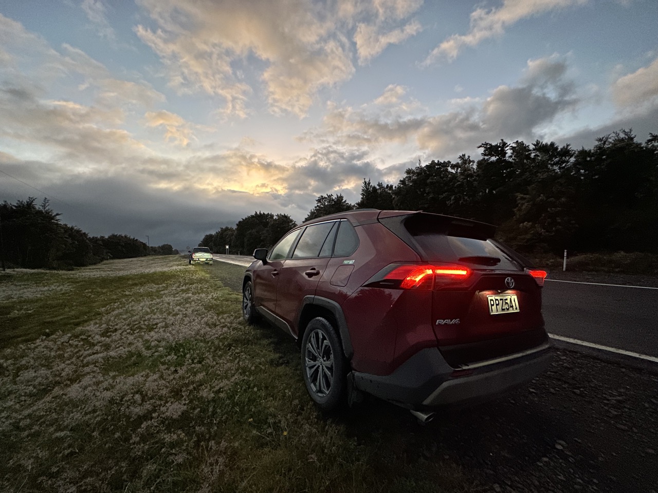
In order to do the hike in one day, most people park at the Ketetahi end and take a shuttle to the Mangatepopo End (this way you start a few hundred meters higher than you will end). The shuttle costs NZ$45, which is pretty expensive for the 20 minute ride, but that incldues a mandated NZ$40 conservation fee. You could take a round-trip shuttle for only NZ$50. The prices are the same for pickup/drop-off at many hotels within an approximately 1-hour radius. Along the way, our driver explained the scenery.
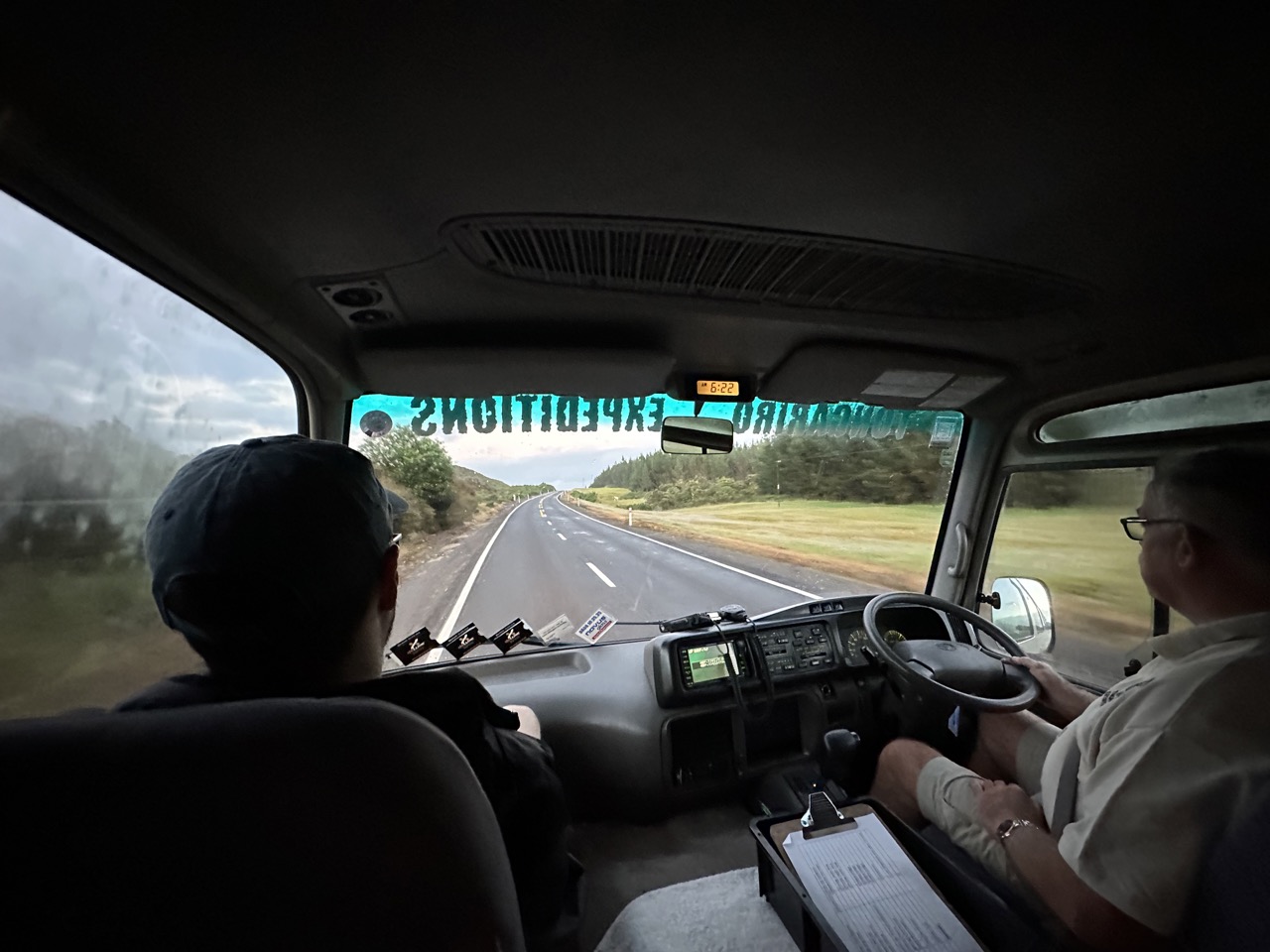
When we arrived at the Mangatepopo Car Park at 6:50am, the shuttle driver notified people who were taking a return shuttle that the final shuttle of the day would leave at 3pm, and that they had been given sheets with contact information in case they were running late or needed to turn around. The hike is supposed to take 6-8 hours. There are bathrooms at both ends, and a few along the way, but people are advised to bring their own toilet paper.
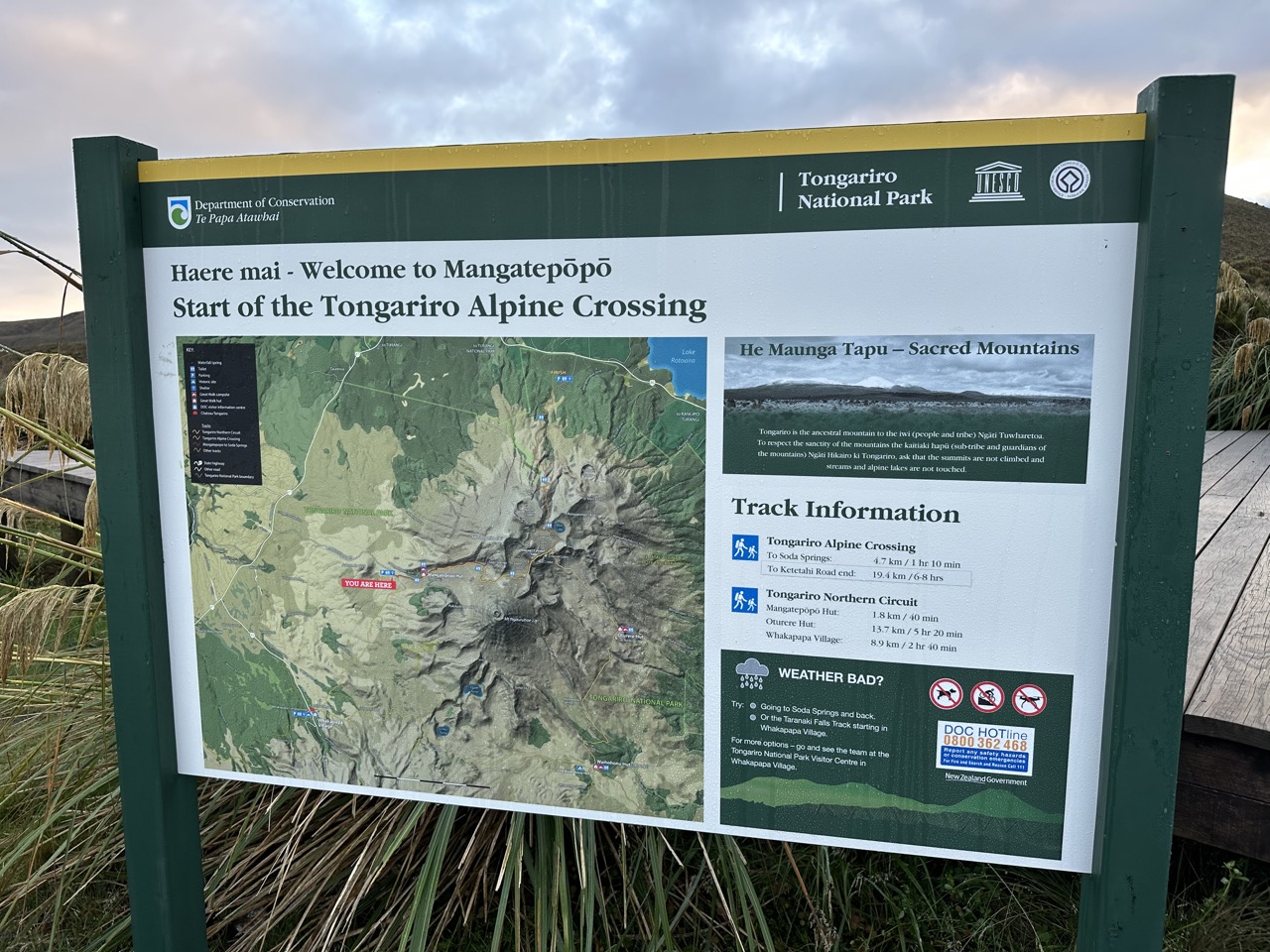
There was a sign at the start of the hike alerting people of what they should bring with them, but I will tell what I had, separated into the "things I actually used" and the "things I never used." Used: hat, sunglasses, sunscreen, 2.75L water (I drank it all), 3 PB&J sandwiches (I only ate one), and I wore a fleece sweater, long pants, a t-shirt, and tennis shoes. Didn't use: rain jacket, umbrella, shorts, snacks (muffin, tim tams), power bank (although I ended with 2% battery on my phone). And about 2km in, I realized I also had left my laptop in my bag, which meant I had to carry that with me the entire time, and risk it getting wet if it rained, which is always a possibility.
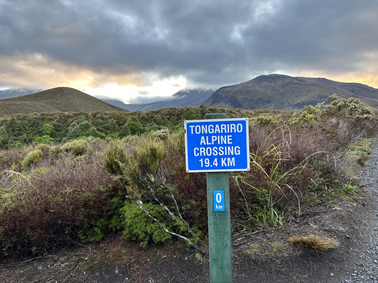
The start of the walk is a nice easy meander up to the saddle between Tongariro and Ngauruhoe. We approach it from the west, so the sun is still on the other side of the mountains and it is not hot yet, but it is still bright enough to see perfectly fine. Along the way there are some signs informing about the park. For one, the park is sacred to the Maori. Additionally, these are still active volcanos, and some signs share warnings and stories about past eruptions (for example, in the '70s there was an eruption while a school group was out hiking).
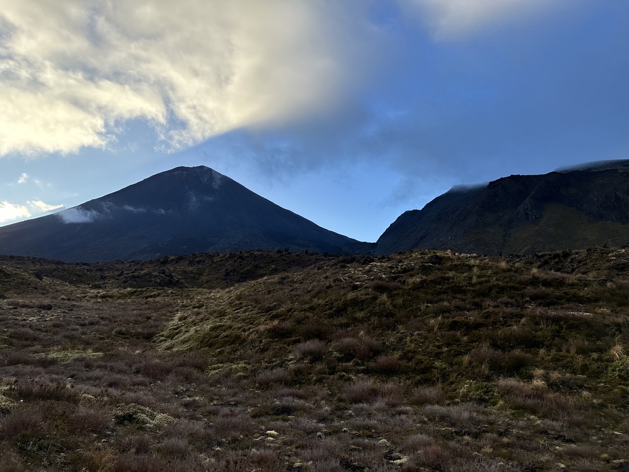
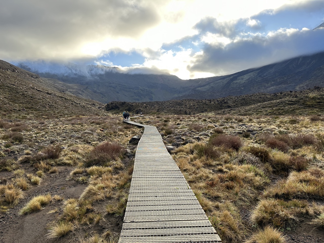
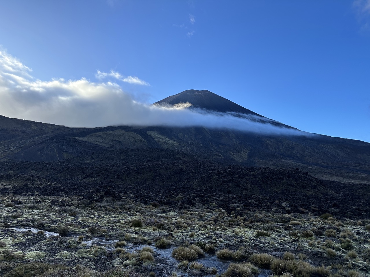
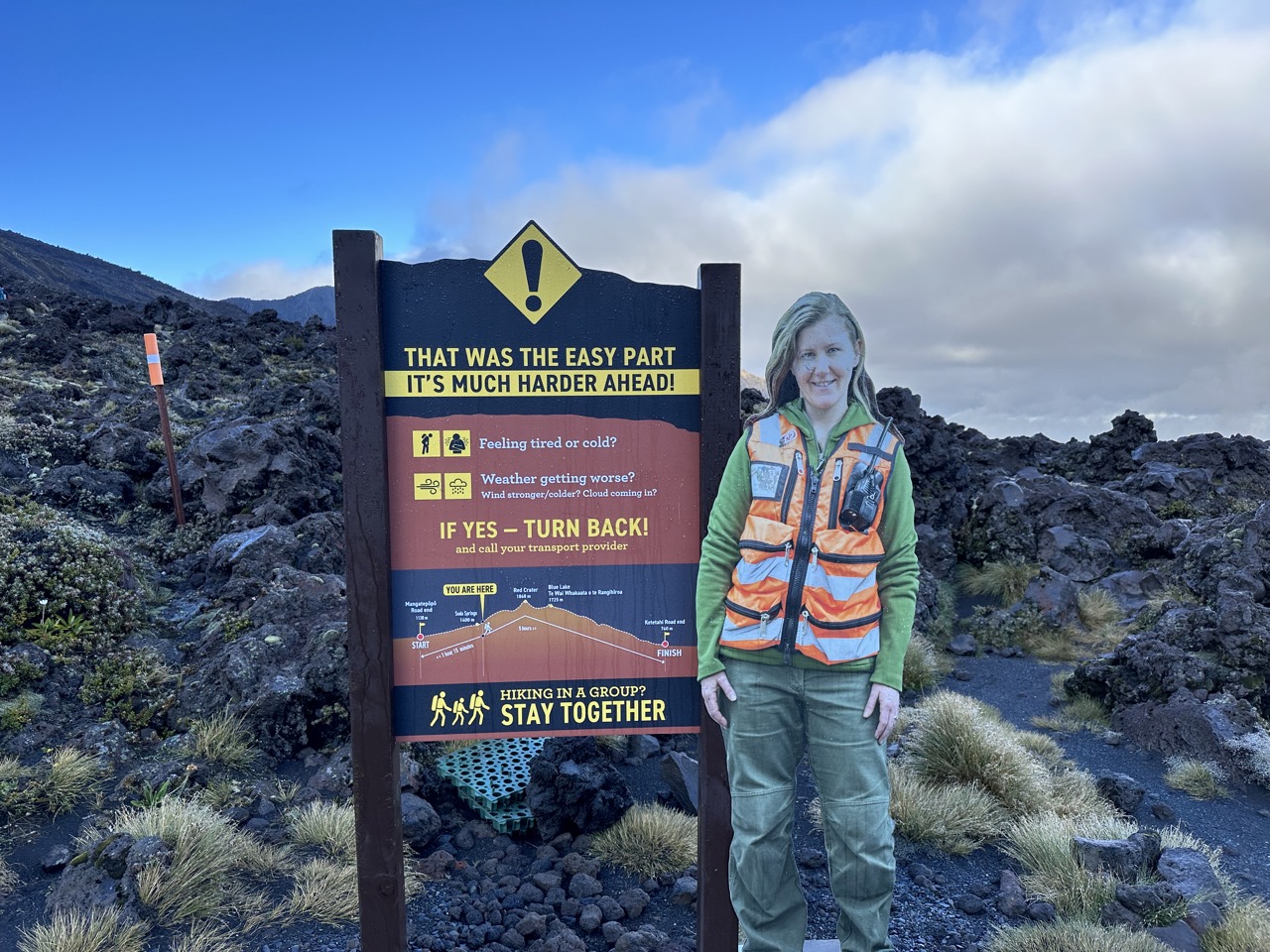
Eventually you reach the base of the saddle and need to start climbing up a combination of stairs and rocky pathways. The stairs are certainly harder and tough on the knees. After climbing up what I thought was a challenging section, there was a sign saying that that was the easy part and it gets much harder, which is demoralizing. The next part is called the "devil's staircaseS", which makes sense considering it is about 600ft of elevation in a pretty short distance. I had to take a couple of breaks as I ascended.
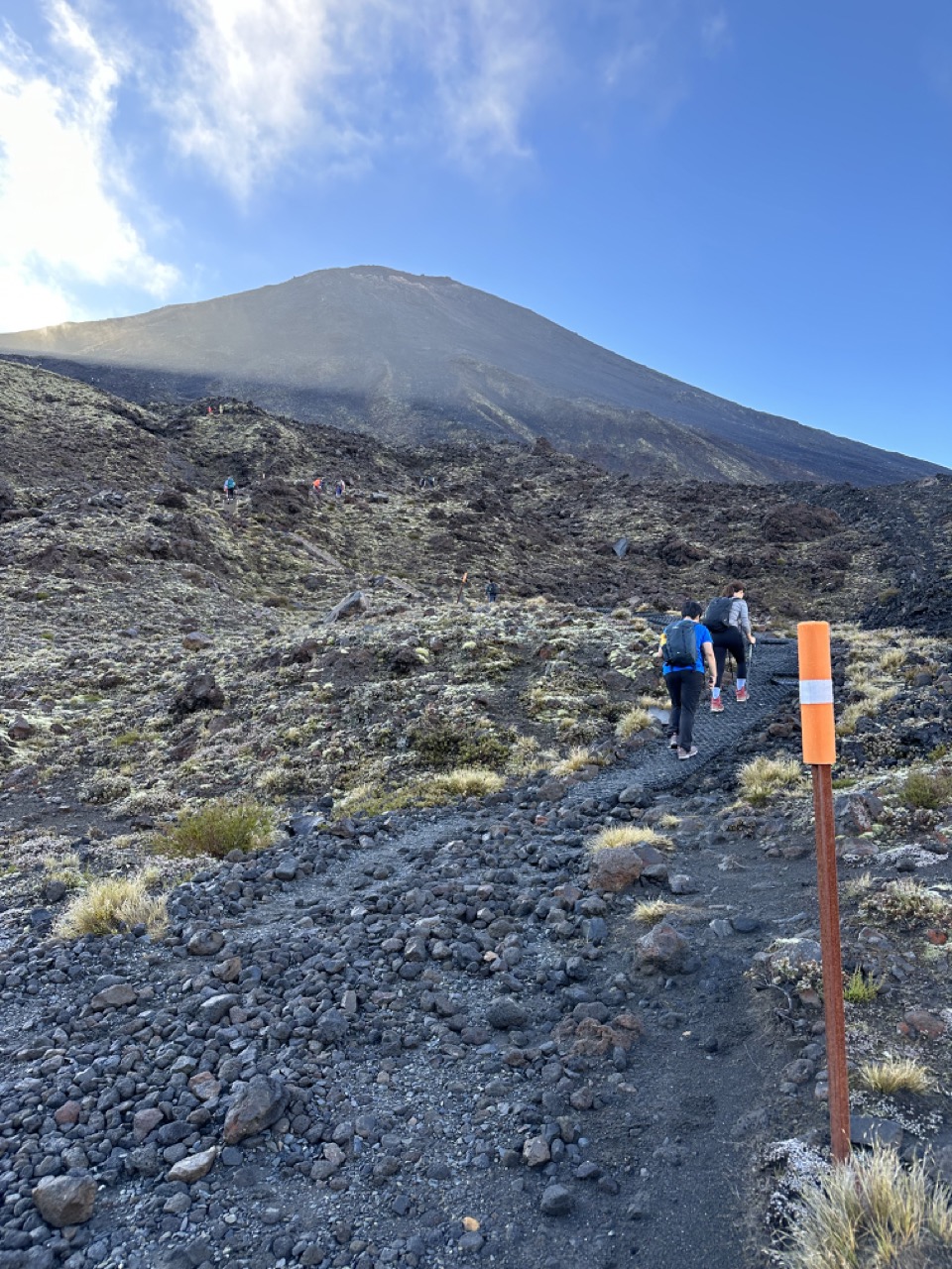
At the top of the Devil's staircase is a nice flat section called the South Crater, which gives you an opportunity to catch your breath as you meander right up to the base of Ngauruhoe. I found myself talking to a South African woman who thought that we were done climbing up. I was quick to tell her that no, the Red Crater was still in front of us. We chatted as we walked along the flat area. She is from Port Elizabeth (Gqeberha) and moved to New Zealand looking for work, but was having a hard time finding any. She was clearly poorly informed about other aspects of New Zealand too: she wasn't aware of much of the Maori history you can easily learn in museums (for example, that they only came to New Zealand about 800 years ago), and she also claimed there weren't any interesting animals (I suppose there are no elephants or lions, but there are so many cool birds).
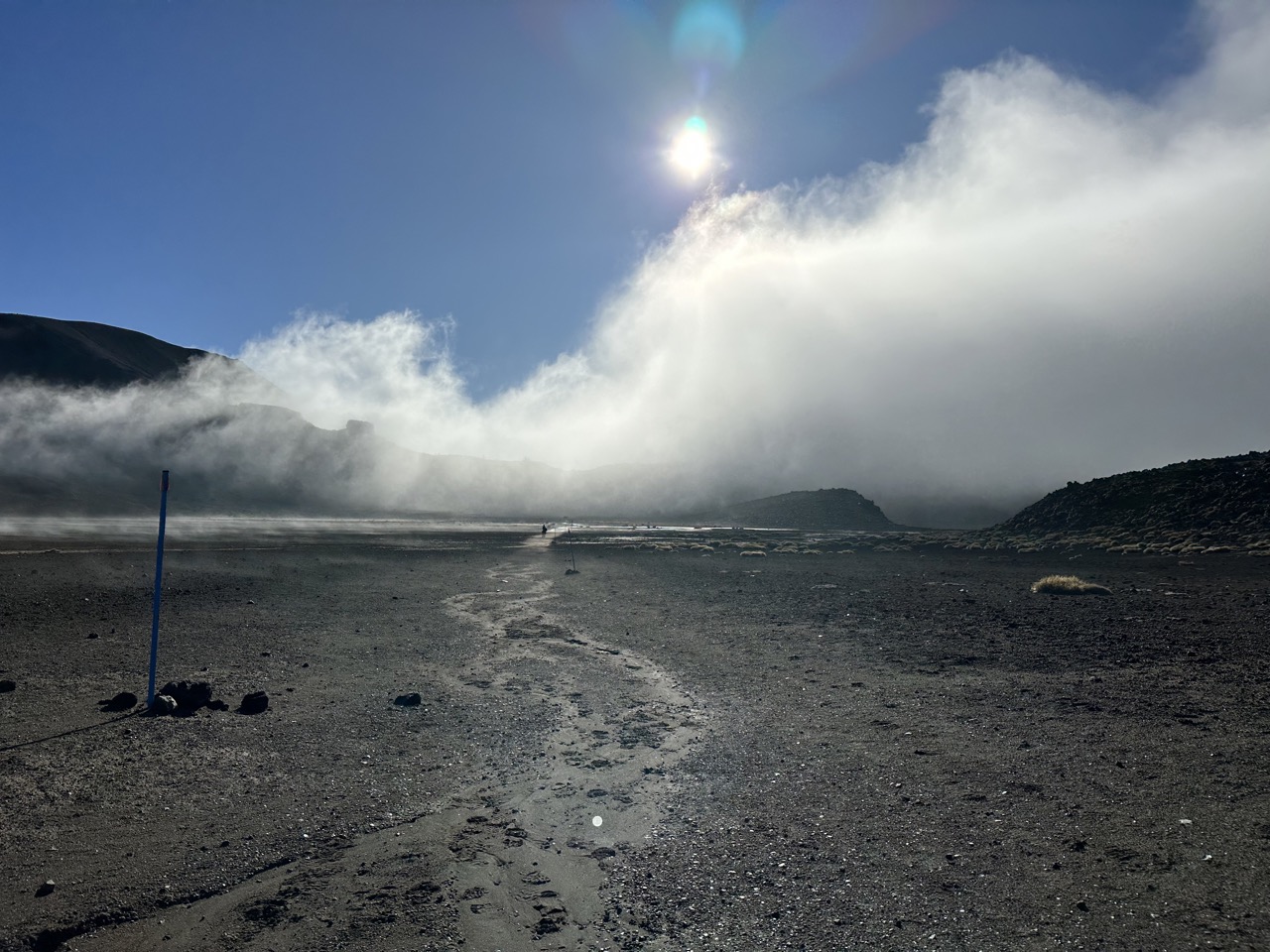
We reached the base of the Red Crater ascent and the South African woman went on ahead of me because as we started climbing I had to go very slow and catch my breath quite frequently. This is the steepest ascent on the track, and I was already tired from all the walking up to this point. I took very frequent breaks, but luckily the view behind me was spectacular.
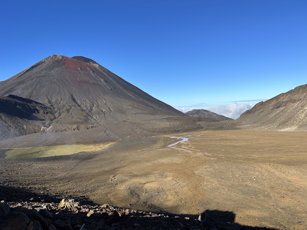
Finally I reached the top and got to admire the view in all directions: behind me Ngauruhoe, to my side the Red Crater, and don in front the Emerald Lakes. It took 2.5 hours to reach the top, which was about 8.5km of walking, and about 750m of elevation gain. I took a break to eat a PB&J, take in the view, and take some photos. There was a Korean woman also hiking alone and we helped each other take photos.
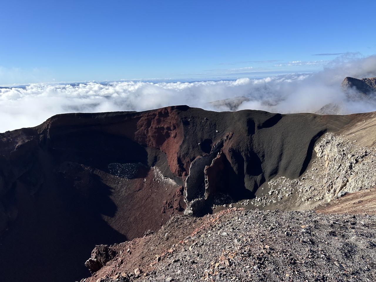
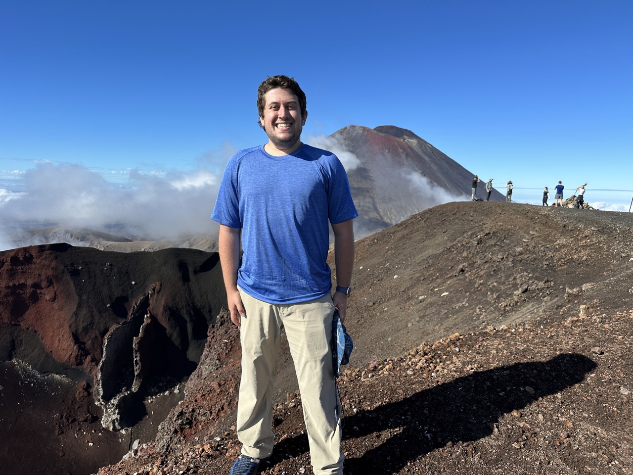
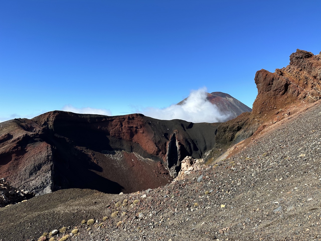
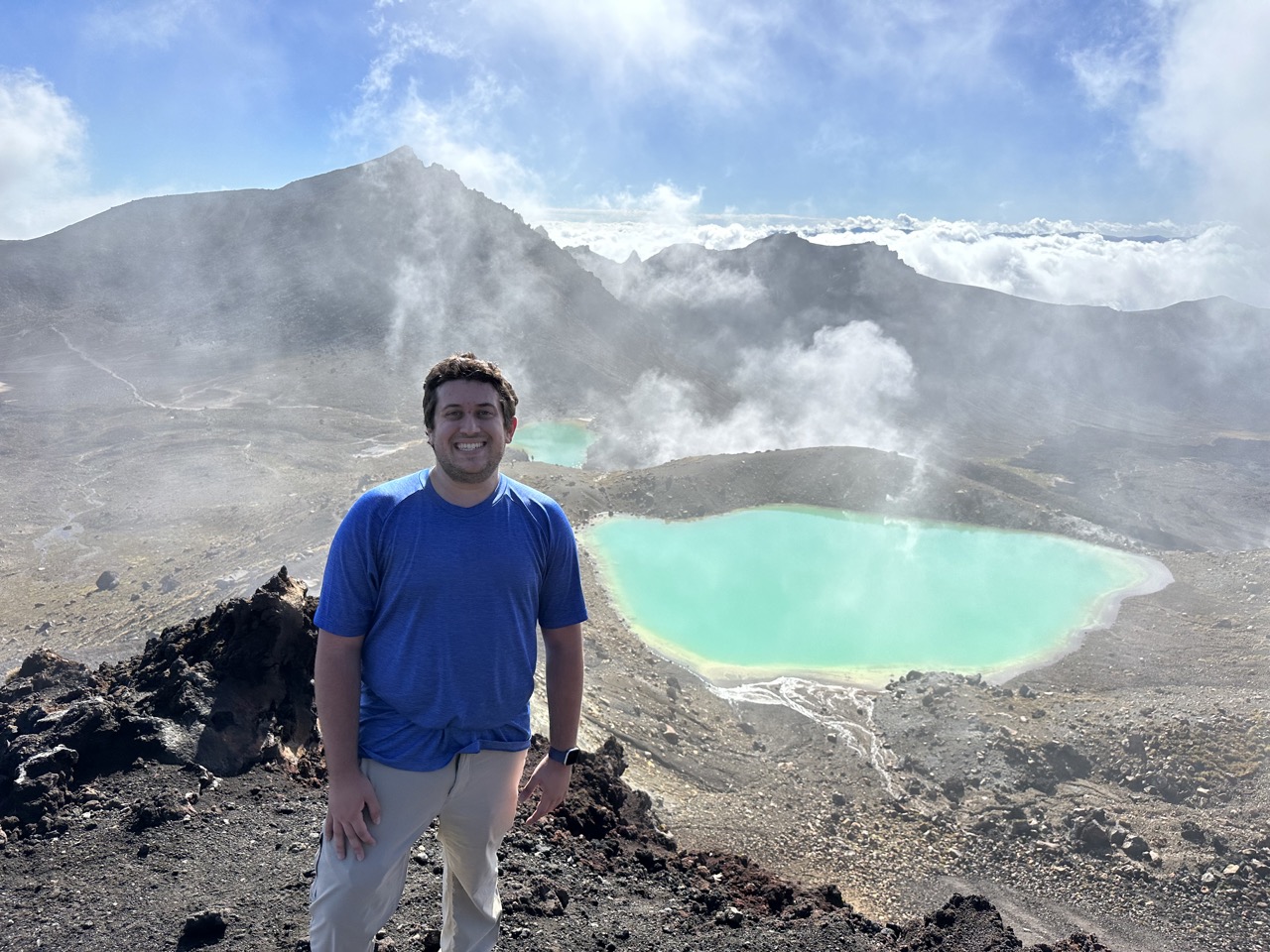
The descent from the Red Crater is the most dangerous part of the hike, because the ground is very dry and very loose (it is all scoria - small light volanic rock). It is basically this volcanic dirt that has no large rocks or moisture to hold anything in place. And to add on to that, it is also very steep. I found it very hard to avoid slipping as I walked down, and I saw a woman totally fall on her back. Finally I approached the Emerald Lakes and the ground became more stable. You can tell you are approaching the lakes because there is a strong sulfur smell, as near the lakes there are lots of active steam vents. I hiked around the Emerald Lakes and towards the larger Blue Lake in the distance. There is technically a bit more up-hill hiking to get to the Blue Lake, but it is nothing compared to the Red Crater. The Blue Lake is actually sacred to Maori (it is "tapu") and so it is disrespectful to touch, enter, eat, or drink around the shore of the lake.
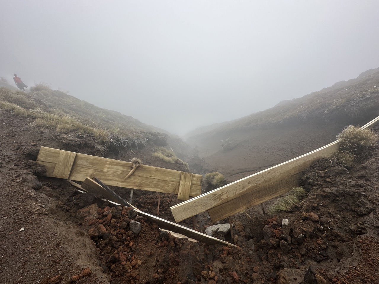
After hiking around the Blue Lake you go up a little more to get to the edge of the Tongariro crater, before finally proceeding down the long down-hill stretch down the north side of Tongariro. At this point, I stopped to apply some sunscreen, but that became useless pretty quickly because most of Tongariro was cloud-covered, and I spent at least an hour walking through a cloud. At least the mist was nice and cool, and luckily it didn't actually rain.
By the time I exited the cloud I was feeling some really bad knee pain, and I had at least another 4 miles to go to reach my car. There was no choice but to power through, but walking down hill was extremely painful. The next couple kilometers goes along a path surrounded on both sides by tall hedges, and there were tons of large flies constantly swarming at my feet, which was really irritating because they were so loud.
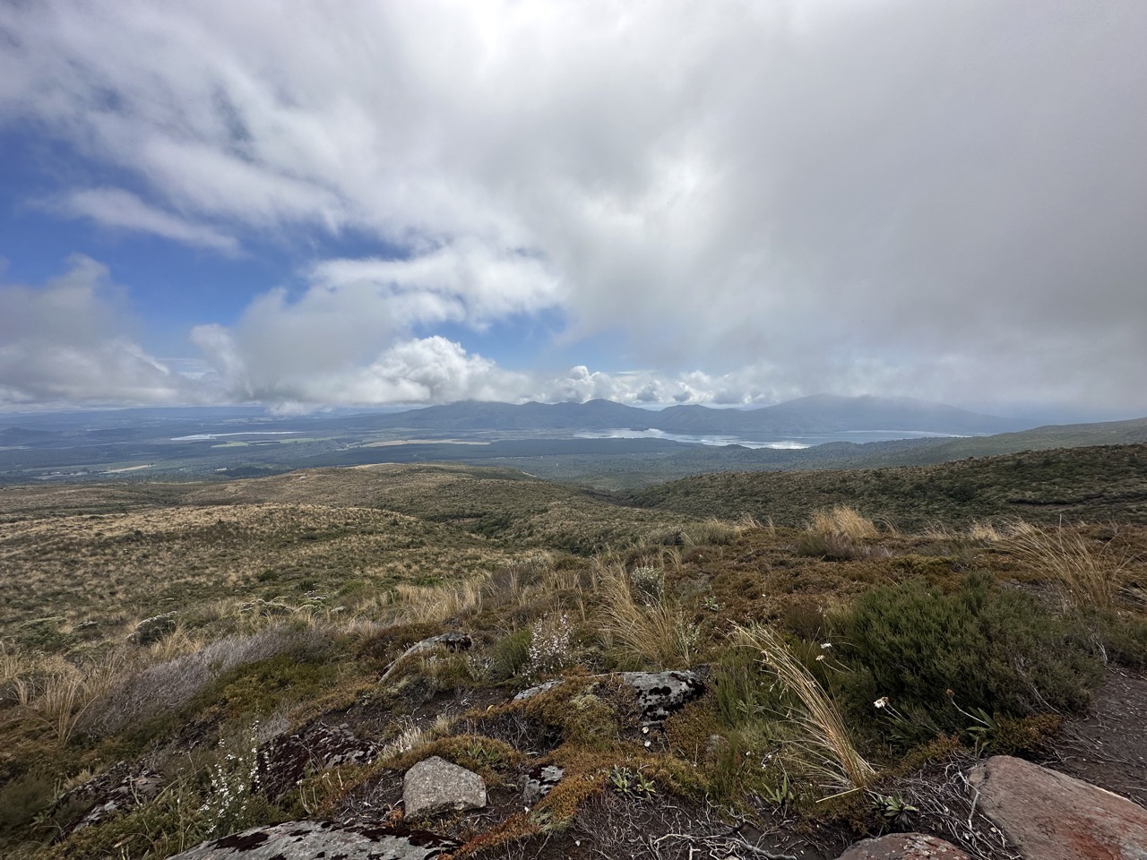
The remainder of the track is interesting in that it is so different from the opposite side of Tongariro. What was once a desolate area has now been replaced by a thick rainforest at the base of Tongariro. There were some interesting bird noises, but I was in too much pain to sit around and try to find the birds in the trees.
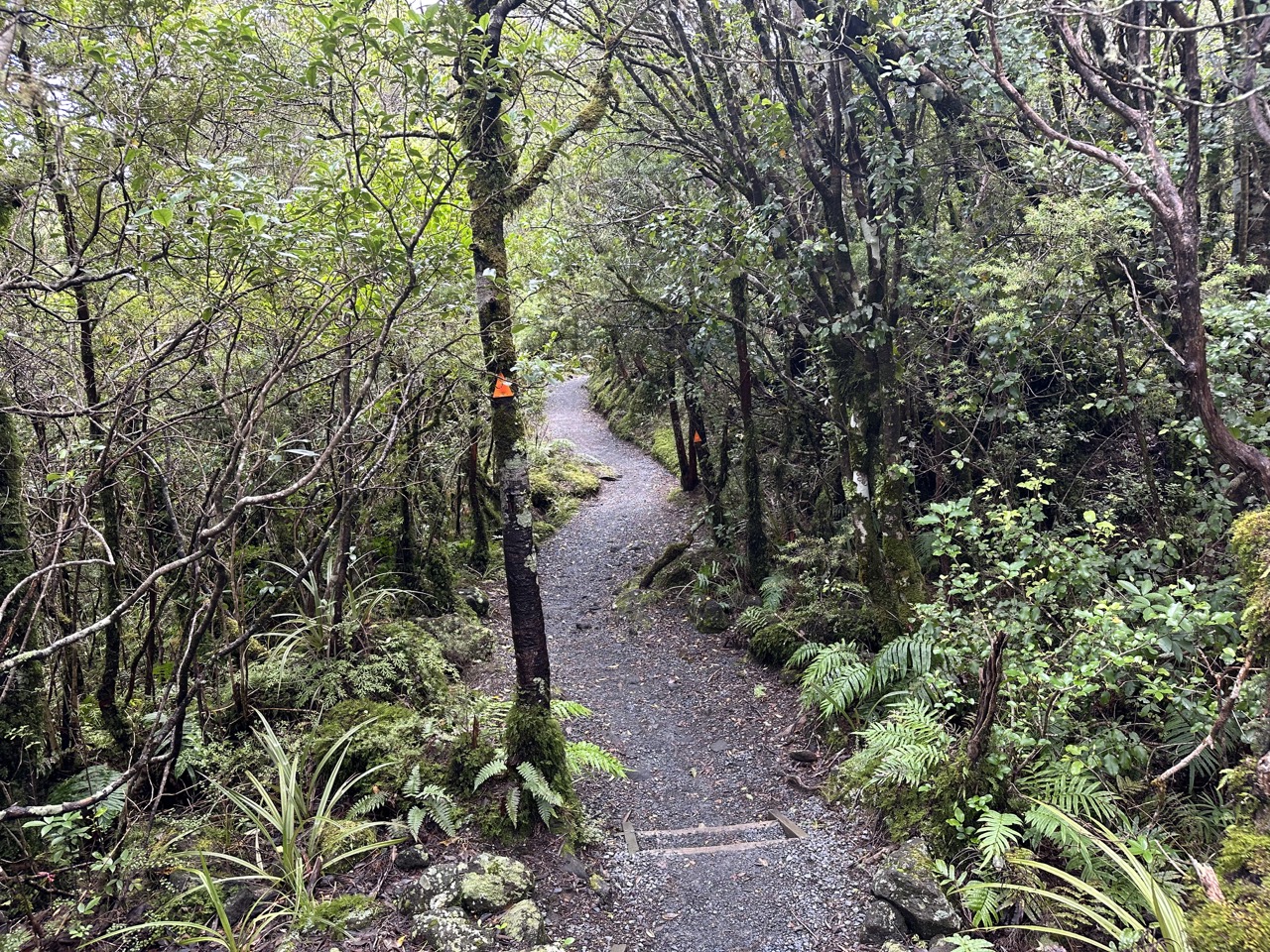
The end of the hike follows along the Mangatetipua stream, and there is a nice little viewpoint of the Ketetahi Falls as you approach the exit. After exiting the track, I had to walk another kilometer or so to get to my car. When I made it, I was very relieved, but I had a long drive to Auckland ahead of me. The final statistics according to my Apple Watch from the hike: 5:53 time spent hiking along 6:18 elapsed time, 13.46 miles, 2766ft elevation gain, and 2431 active calories burned.
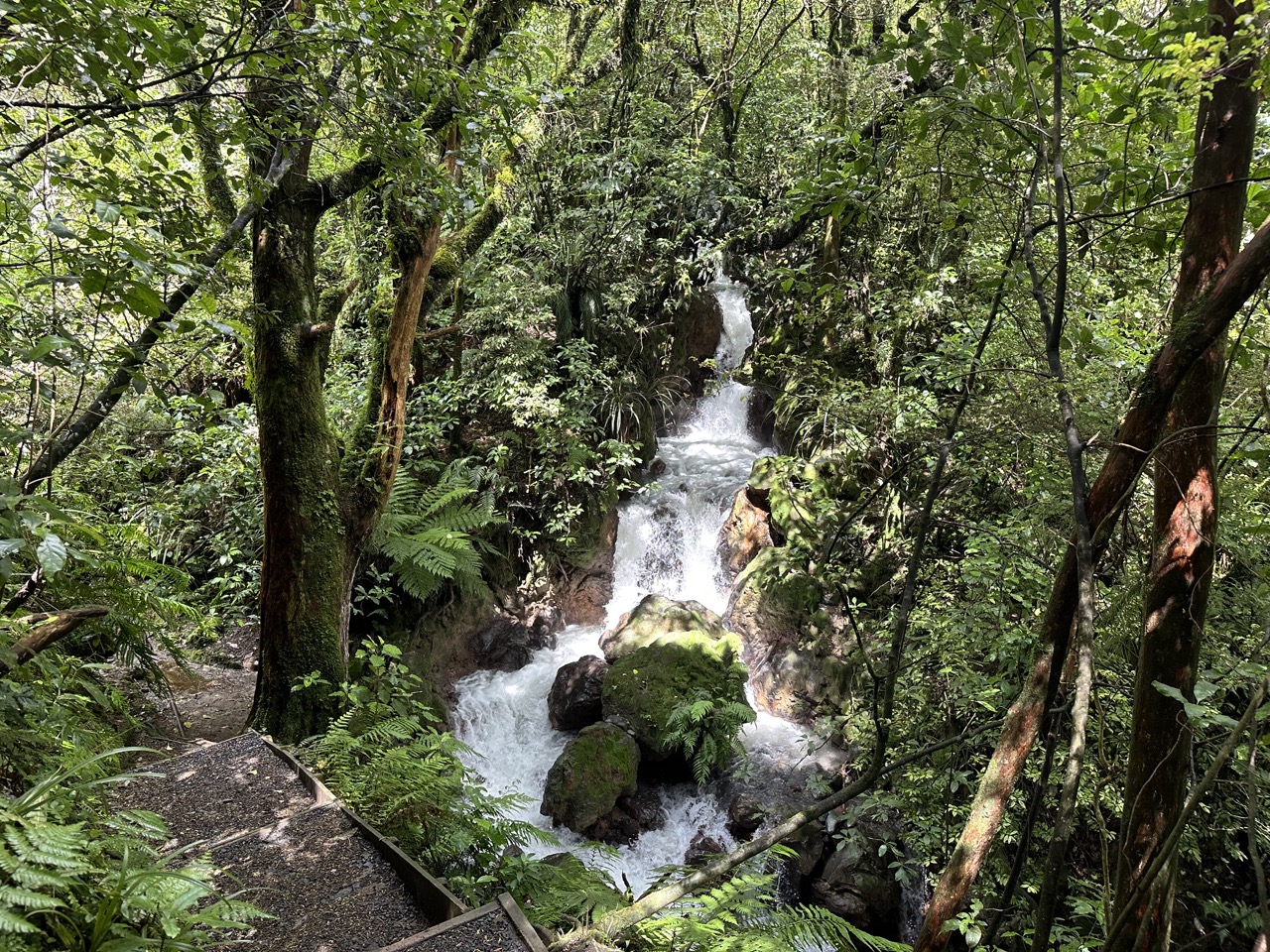
Before going to Auckland, I wanted to stop at the Visitors Centre to see if there was anything interesting there. There was a cute little gift shop that had certificates for what I thought was completion of the Tongariro Alpine Crossing, so I purchased one, only to later realize I had bought a certificate for completion of the Tongariro Northern Circuit, which is a 3-4 day hike (The Tongariro Alpine Crossing that I did is the middle section of the Northern Circuit), and considered one of New Zealand's "Great Walks."
From the visitor's centre it was a 4 hour drive to Auckland. I planned to stop in Hamilton, a city about an hour south of Auckland, to get gas, because I figured it would be the cheapest there (there is an app called Gaspy where people report gas prices). I was driving on a highway right outside of Hamilton when I encountered a section of road with a new seal: in New Zealand, when they reseal roads they pour a ton of gravel on top, and post a speed advisory notifying cars to slow down: there was no such speed advisory here, and there were quite a few cars going full speed (100kph) and kicking up rocks; one hit my windshield and left a nice big crack, which was really frustrating.
North of Hamilton SH-1 becomes the Waikato Expressway, which as far as I can tell is the only road in New Zealand with a speed limit of 110kph instead of 100. The road goes along the Waikato River and is surprisingly flat, my first time driving in New Zealand and not seeing chaotic hills all around me.
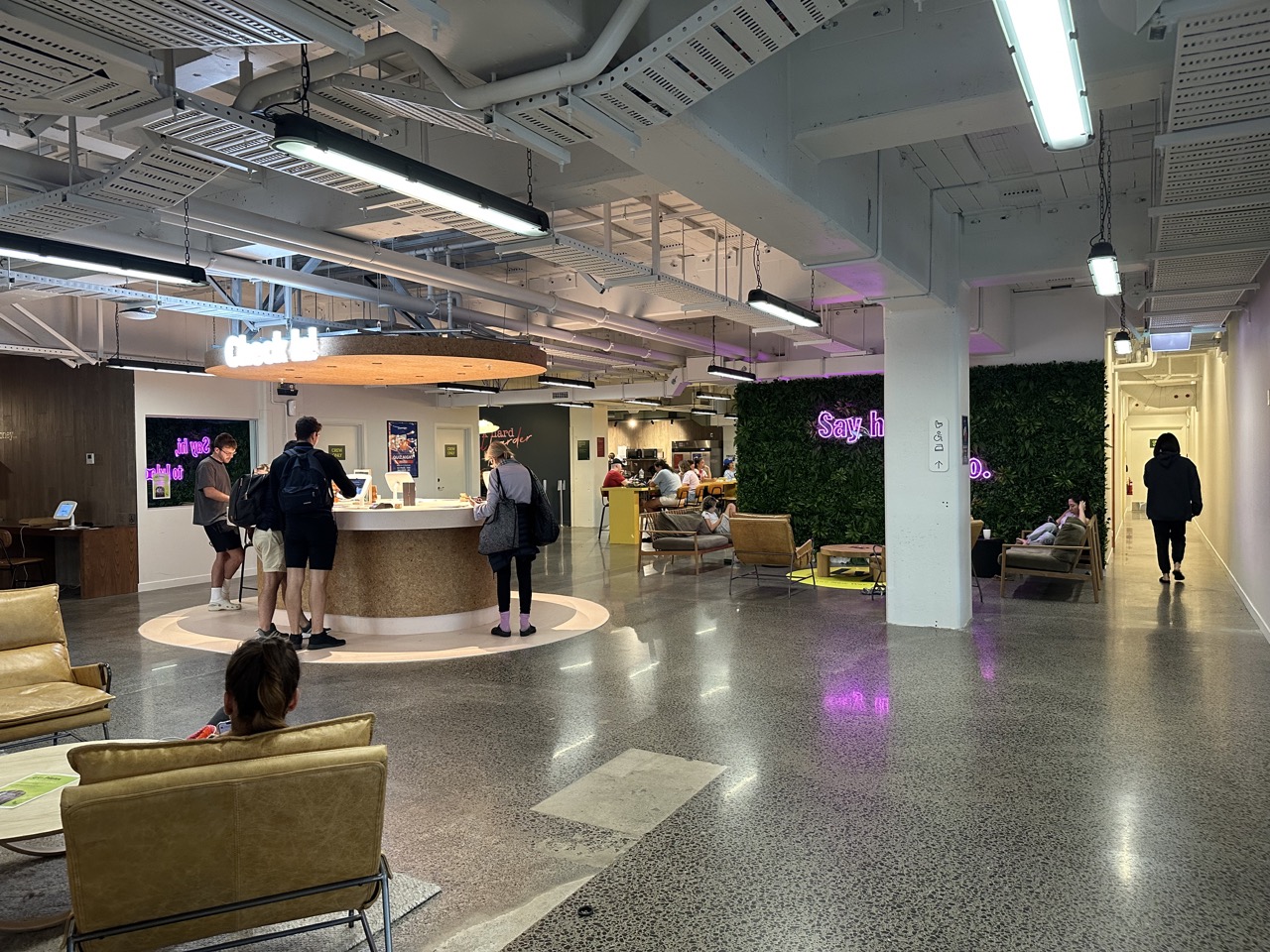
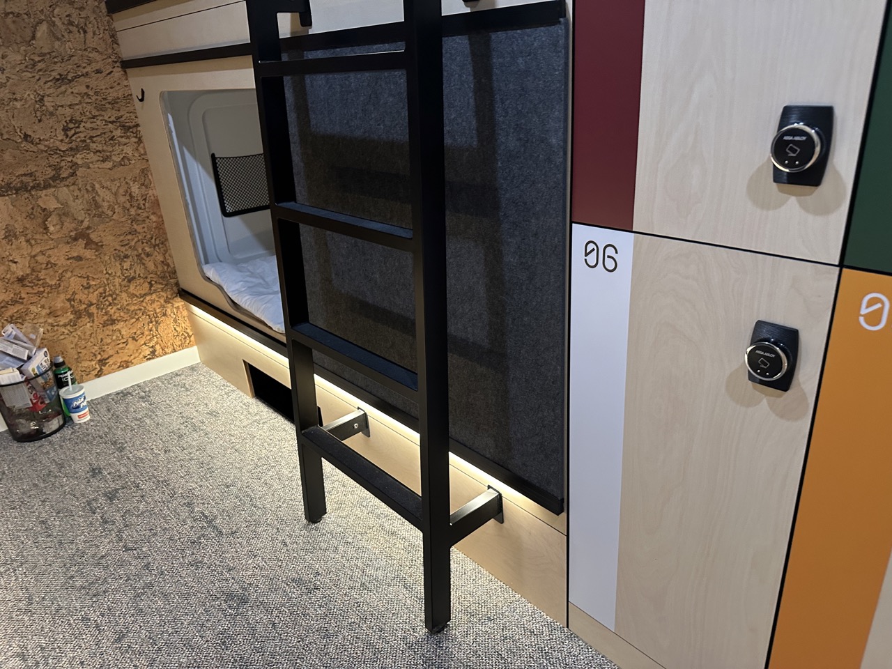
I made it to Auckland and checked into Lylo Auckland, my hostel for the night. I technically had booked for two nights and couldn't cancel the first night after I decided to do the Tongariro Crossing last minute. The entire check-in process was self-service: there were iPads and stacks of blank keys, and the iPad guides you to check yourself in and program the key to unlock your room and your locker. This hostel was actually a capsule hotel, and the amenities were very nice; it is a strong contender for best hostel I stayed at in New Zealand.
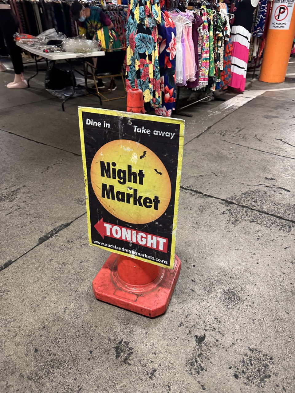
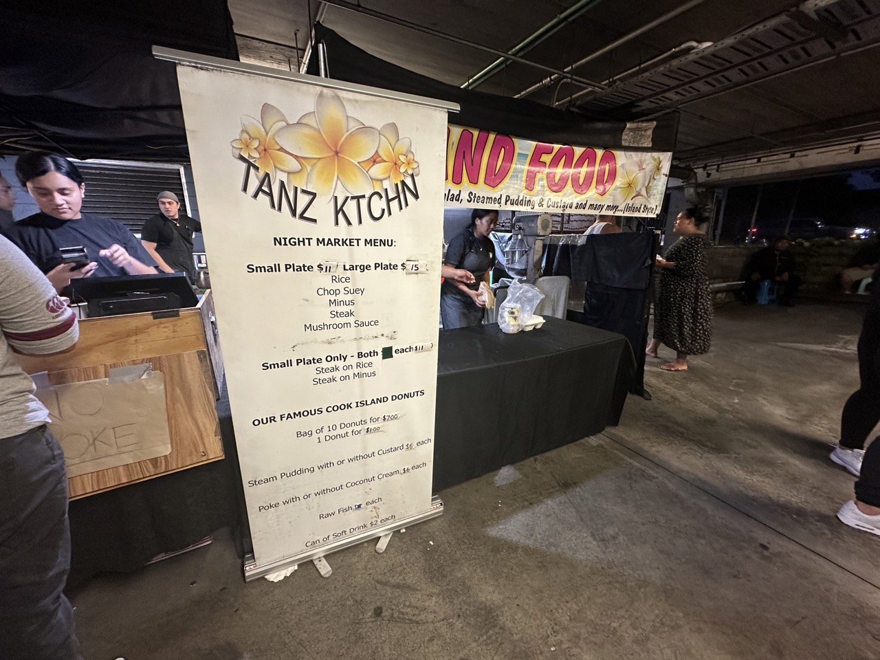
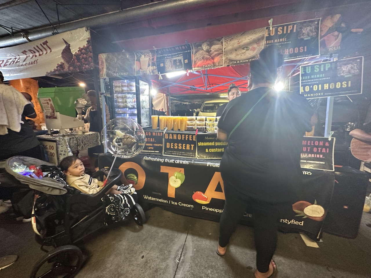
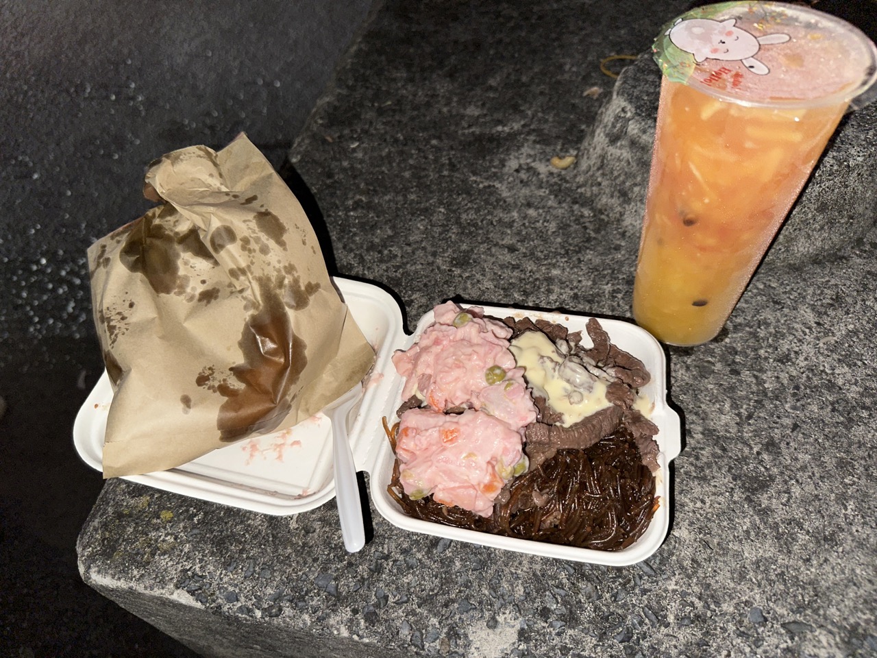
After checking in I went in search of dinner. On most nights in Auckland there is a Night Market somewhere, and on Saturdays the Night Market is in the parking garage beneath The Warehouse (a department store) in Pakuranga, about a 15 minute drive from the Auckland CBD. The Night Market atmosphere reminded me a lot of night markets in Taiwan, but the food options were much more unique: there was a lot of Filipino and Pacific Islander food on offer. It turns out that Auckland is actually the city with the largest Pacific Islander population in the world. I had a hard time deciding what to eat, and just went to the stall with the longest line, which was serving up Cook Islands food (the Cook Islands is a country located between American Samoa and French Polynesia, and is in free association with New Zealand). I ate rice, chop suey, minus (basically pink potato salad), and steak in mushroom sauce. I also bought a "Cook Islands donut", which was pretty chewy and not as sweet as I expected. I got a drink called otai from the adjacent stall. Otai is basically juice with grated fruit inside: mine had watermelon, coconut, mango, pineapple, and apple. The food and the otai were all delicious.
